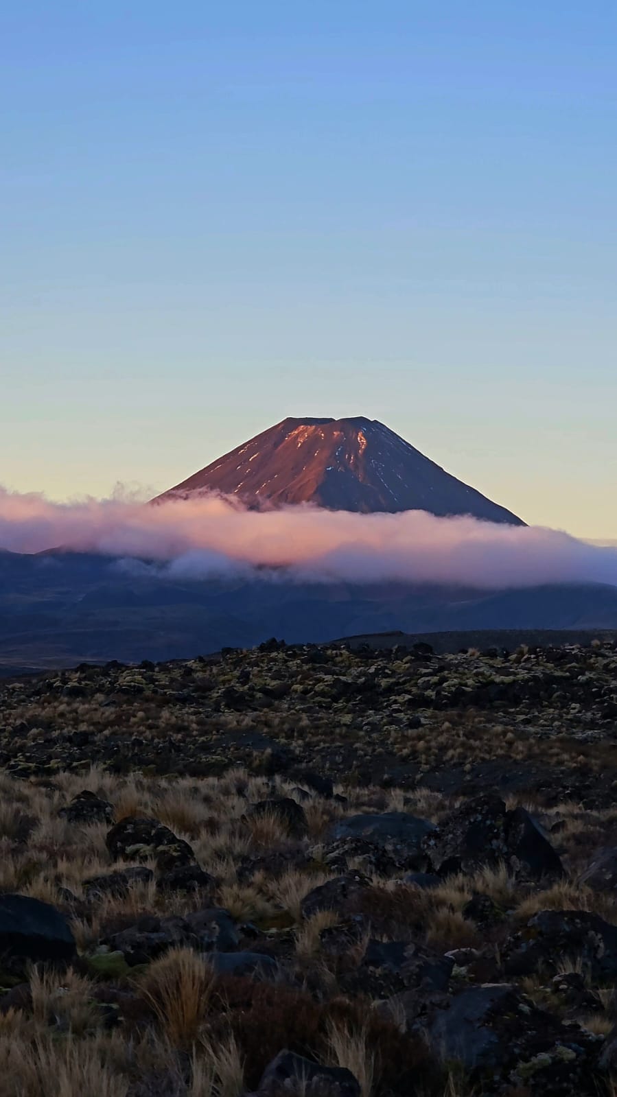
Driving through Tongariro, I realised that the creative directors of the Lord of the Rings franchise were given a retroactively easy decision when they chose the park as a filming location. Tongariro National Park is Tolkien’s Mordor made manifest. The park’s vast volcanic plain creates the feeling of lifelessness and desolation that would surely ward away the weary traveller or wandering hobbit. Whilst the volcanoes of Tongariro are now dormant, the valley’s landscape holds a memory of death and destruction from millennia before and now a fictional memory as the birthplace of evil.
For miles and miles, plant life is pictured in film to be smothered by volcanic rock, rubble, and chemical waste. Spring water is contaminated with sulphur. The wasteland of Tongariro on film is both a terrifying byproduct of nature’s fury and a stunning demonstration of beauty born of destruction. Beyond Middle Earth, to true Tongariro, seedlings peek from between dormant volcanic rock, and plant life thrives out of mountainous springs. Tongariro is a place to admire the rebirth of life and the persistence of nature. Mount Ngauruhoe last erupted in 2012 and penultimately in the 19th century and has since been in a state of healing.
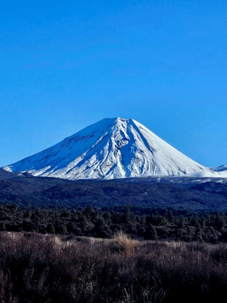
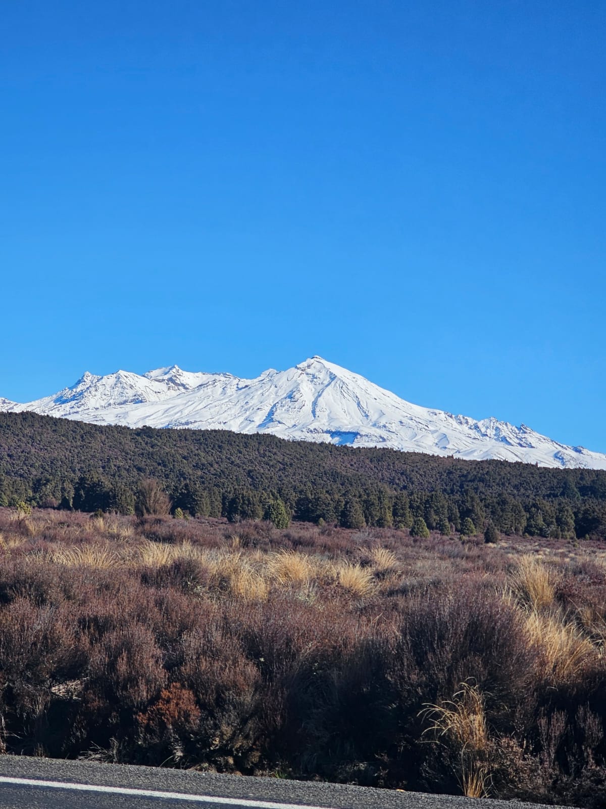
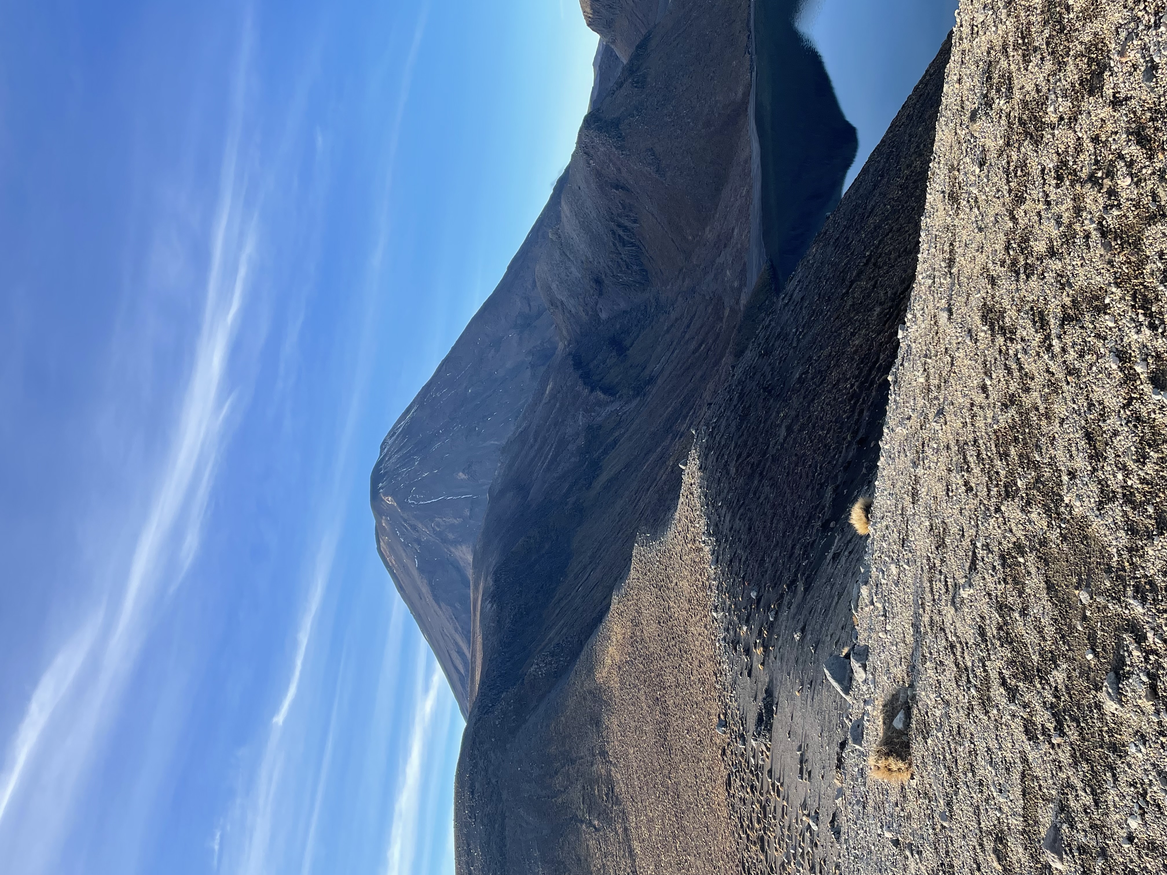
Now Tongariro National Park is open to millions of visitors each year, who walk in the direct path of volcanic destruction. The park mainly consists of two large volcanoes, Mount Ngauruhoe to the north and Mount Ruapehu to the south. As implied by the mountains native names, Tongariro National Park has strong ancestral ties to the Māori. Mount Ngauruhoe is the manifestation of Tolkien’s Mount Doom and the setting of the series. Straight off the pages of the fantasy novel, it is a classical conical volcano, deep umber in colour, giving the allusion of being burnt and painted in residual red volcanic rock. With unforgiving slopes and sharp scree, only a certain section of the volcano can be traversed on the popular Tongariro Alpine Crossing hike. Mount Ruapehu is more benign in its terrain, housing a ski resort and sightseeing gondola upon its peaks.
The Tongariro Alpine Crossing is one of the most trampled day hikes in the North Island, attempted by thousands in the summer months and only with an experienced mountaineering guide in the winter. Unfortunately, as we visited in winter, it is a hike that slipped through the net in our New Zealand adventure. The crossing involves climbing to red crater, a volcanic chasm painted by oxidised iron to give its namesake red colour. Pictures I have seen of the crater very much give the impression of walking on Mars, augmented in real life, I’m sure, by the gas rising out of volcanic rock. After stumbling down a scree slope, you then reach Emerald Lake. This lake is illuminated emerald green by sunlight hitting a layer of volcanic mineral on the lake’s bed. You will also encounter Blue Lake, an acidic lake that is sacred to the Māori.
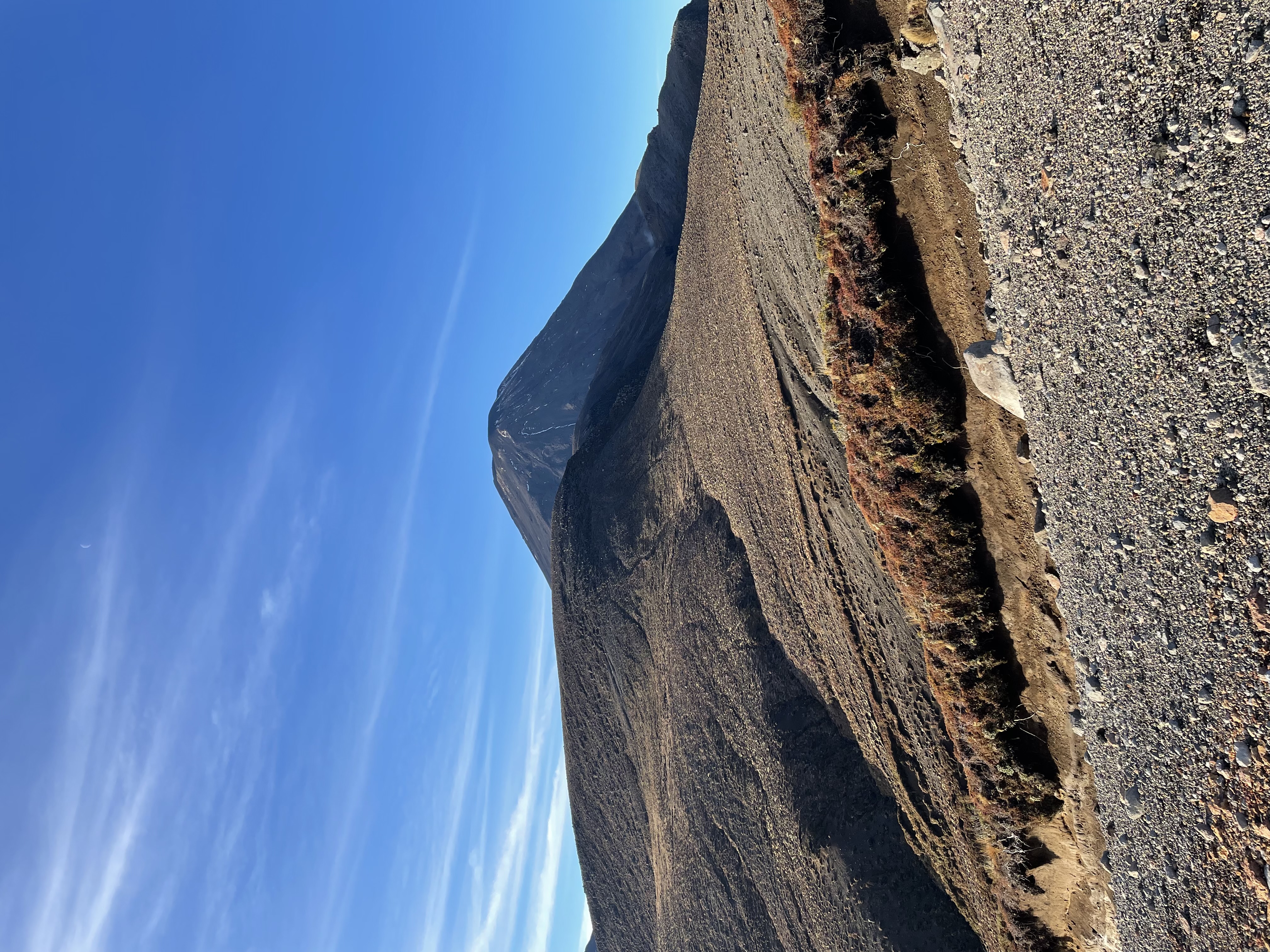
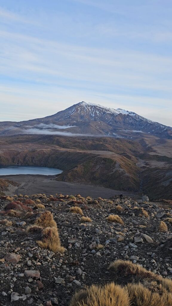
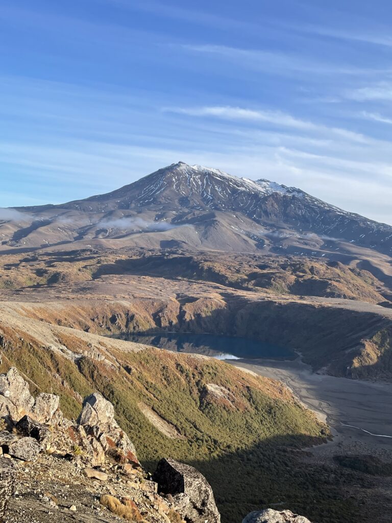
Whilst we were unable to see these dramatic wonders, we were not content to leave Tongariro without seeing the volcanic valley up close. This initiative led me to the Tama Lakes track, a much more gentle bridleway through the valley that is passable in winter. The price you pay for even boardwalks is that this hike crosses 17 km. Initially we were treated to panoramic views of Mt. Doom and native forest. But our luck was short-lived as the valley became veiled in low-lying cloud for several kilometres. We reached the lower Tama Lake, a stunning blue lake at the bottom of a dramatically carved crater. But our path to Upper Tama Lake was blanketed in cloud, and our path was only visible for a handful of metres.
More determined than my hiking partner that the cloud would shift, I began the steep ascent up the scree slope to the upper lake. After about twenty minutes of unrelenting climbing, I emerged out of the cloud as if in a fantastic adventure of The Lord of The Rings. At this point I attempted to shout across the miles to my hiking partner that the view was unbelievable (and that I told him so). Unbelievable is a cliché term to describe the view, on top of the world, its twin, but they are fitting. I stood on a saddle, with Mount Doom immediately to my left and the upper Tama Lake at its foot and panoramic views over the valley, lower Tama Lake, and Mount Ruapehu to my right. I stood spinning on an axis for several minutes, spoilt for choice on which direction to cast my admiration. I would have spent a great deal longer there spinning myself silly, but the biting winter cold was a big presence at that altitude.
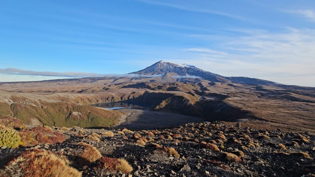
Tongariro National Park has a network of much more accessible hiking trails, including Mangawhero Falls (known as Gollum’s Pools) and Silica Rapids, which showcase the beautiful relics of the park’s volcanic history to the hesitant walker. The park can also be admired solely from the state highway to the east, named Desert Road for its wild western appearance. Towering above shrubbery and desert plain, both volcanoes are displayed magnificently.
Tongariro is a place that is unique within the North Island, a champion of New Zealand’s topographical and geological diversity. I have seen rainforests, mountain ranges, alpine lakes, grasslands, farmland, river gorges, waterfalls, and coastlines across New Zealand. Tongariro’s volcanic wasteland presents yet another unique option, amplifying New Zealand as one of the most beautiful countries in the world for its diversity.
